Field acquisition
NMR Sounding
Surface nuclear magnetic resonance sounding, the one geophysical method that responds to groundwater directly. It gives water content and an estimate of permeability with depth.
Resistivity and gravity tell you where an aquifer could be. NMR sounding tells you whether there is water in it. The method excites hydrogen nuclei in free groundwater with a loop laid on the surface, then listens for the signal they give back. No signal, no free water, whatever the rock looks like.
How it works
We lay a large wire loop on the ground, from 25 m to 150 m a side, and connect it to the IRIS Numis Plus. The system sends a pulse of alternating current at the local Larmor frequency, which depends on the strength of the Earth's magnetic field at the site. Protons in free water line up with the pulse; when it stops they relax and give off a weak signal the same loop picks up. Stronger pulses reach deeper, so a series of pulses builds up a profile with depth.
What you get
- Water content with depth: how much free water each layer holds.
- *Decay time (T2)**: long decay means larger pores and coarser material, usually better yield.
- Estimated hydraulic conductivity and transmissivity, calibrated where we have pumping tests.
How we use it
We rarely run NMRS on its own. Gravity, VES or ERT maps the basin and the gravel layers first; NMR soundings then go on the most promising spots to measure how much water those layers hold and how easily it will flow. That way the expensive test bores go in the right place.
In the field
- Noise: power lines and fences add noise, so we use reference loops and plan soundings away from them where we can.
- Quiet ground: the open steppe and Gobi are some of the quietest places in the world for NMR, which helps depth and accuracy.
- Speed: two to six soundings a day, depending on loop size and noise.
Limits
Depth of investigation is roughly the size of the loop, so up to about 100–150 m. Magnetic rocks distort the signal, and water bound in clay gives little or no response, which is useful (it tells you that clay won't yield) but means NMR is not a clay detector.
Sample output
What you get back
An example of the kind of figure that goes into the report. The data here is synthetic, made to show the method, not taken from a client job.
Free water appears between 22 and 58 m. Long decay times (T2*) in the lower part point to coarser, more permeable gravel. Generated for illustration; not client data.
In the field
How it looks on the ground
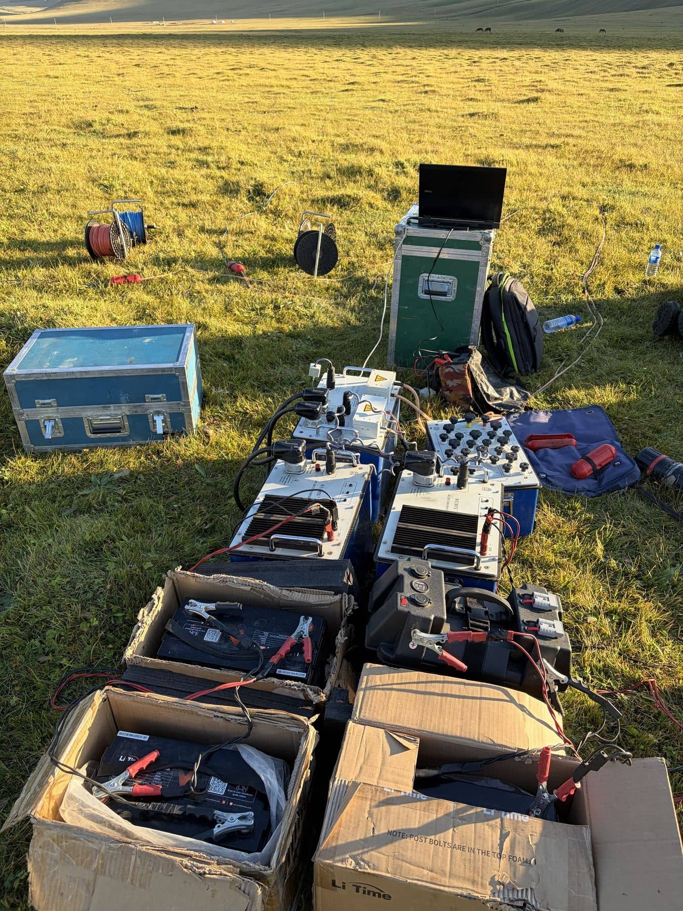
IRIS Numis Plus
Our surface NMR system laid out for a sounding: transmitter, receiver, battery banks and the control laptop.
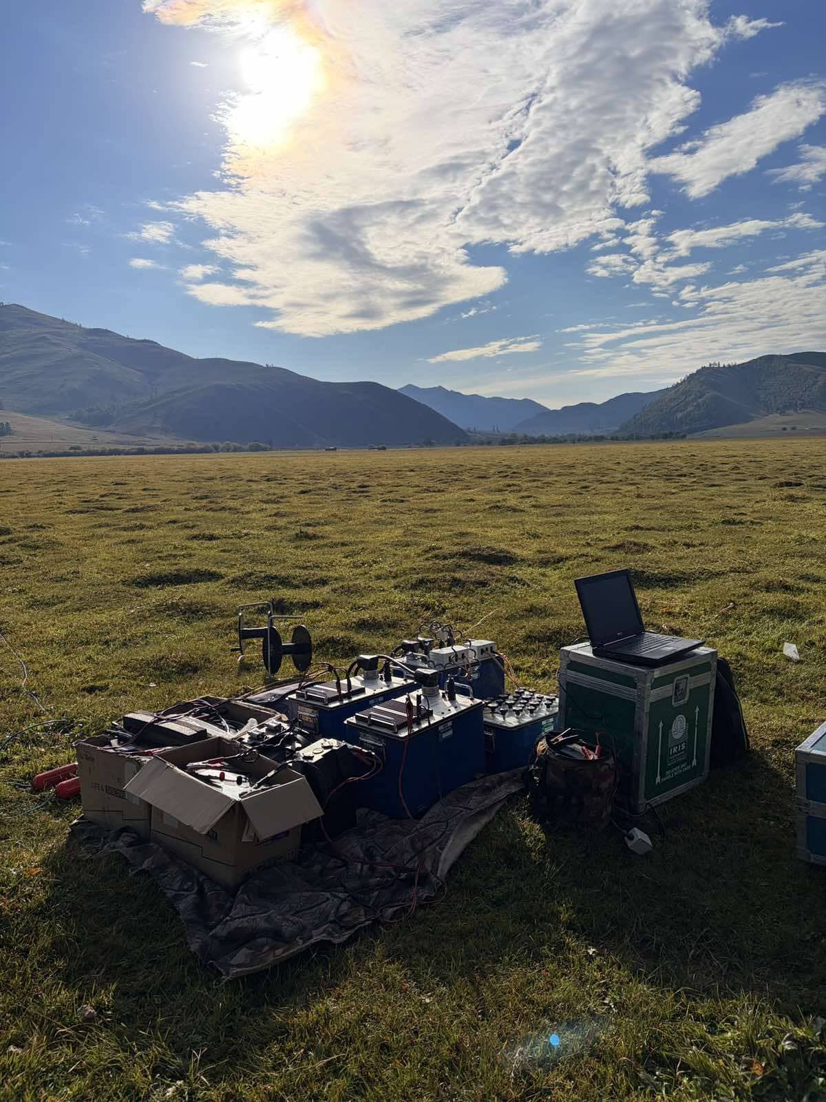
Sounding in the valley
A big quiet valley is ideal for NMR: less electrical noise means a cleaner signal from deeper water.
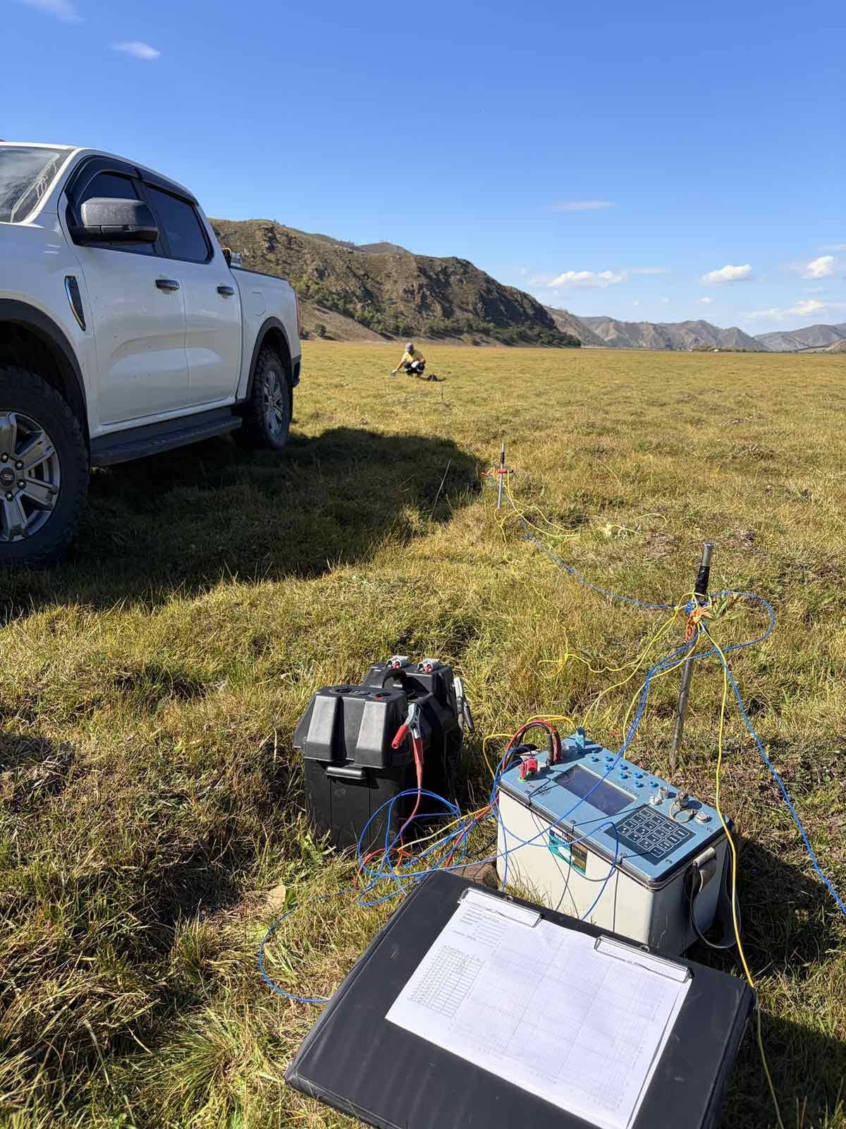
VES sounding
Vertical electrical sounding with the IRIS Syscal Pro: the electrodes move out step by step and the readings give the layers with depth.
Other methods · Field acquisition
Send us a licence boundary.
A shapefile or a sketch on a map is enough. Tell us what you're looking for and we'll come back with a method, line spacing and price, usually within two working days.
Start a quote→