Field acquisition
Electrical Resistivity Tomography
Multi-electrode resistivity imaging that turns a line of electrodes into a detailed 2D or 3D section of the top few hundred metres.
ERT measures how easily current flows through the ground at hundreds of electrode combinations along a line, then inverts the readings into a cross-section. Clay, salty water and graphite conduct; dry gravel, ice and fresh bedrock resist. The result reads almost like a geological section, which is why water engineers and civil designers like it.
How it works
We lay out up to 72 steel electrodes at even spacing and connect them to an IRIS Syscal Pro through the Switch Pro. The instrument then works through a programmed sequence, using each group of four electrodes in turn: two to inject current, two to measure voltage. Electrode spacing sets the trade-off: closer electrodes give finer detail near surface, wider spacing sees deeper.
Where it fits
ERT is the shallow, high-detail partner to our deeper IP surveys. For water projects it maps the layers that could hold water, and NMR sounding then checks which of them actually do. For engineering work it is often the only method needed to find bedrock, permafrost and weak zones before design.
What it finds
- Aquifers and gravel channels, and the clay layers that seal or separate them.
- Depth to bedrock and the weathering profile for foundations, dams and quarries.
- Permafrost and ice lenses, which are very resistive.
- Contaminant and saline plumes around tailings, landfills and industrial sites.
In the field
- Frozen and dry ground: we water and salt the electrode holes and check contact resistance before every spread.
- Roll-along: cables leapfrog along the line, so long road or pipeline corridors are covered without gaps.
- Topography: every electrode is surveyed by RTK GNSS and the terrain goes into the inversion.
Limits
Resolution falls off with depth, and different materials can share the same resistivity: a clay and a salty aquifer can look alike. That's why we pair ERT with VES, NMR sounding or drilling for water work.
Sample output
What you get back
An example of the kind of figure that goes into the report. The data here is synthetic, made to show the method, not taken from a client job.
Dry topsoil over a clay layer, then a water-bearing gravel channel resting on resistive bedrock. The channel is where the bore should go. Generated for illustration; not client data.
In the field
How it looks on the ground
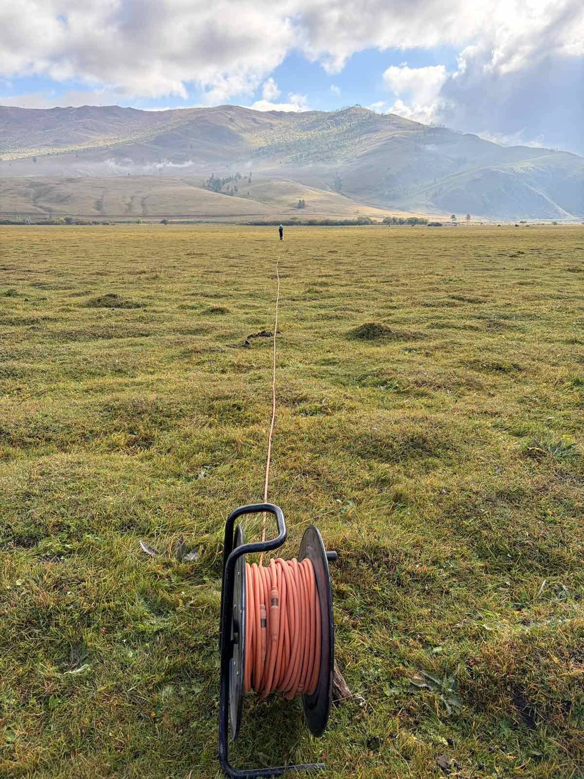
Laying out the spread
Multi-electrode cable run out along the line before the electrodes are connected.
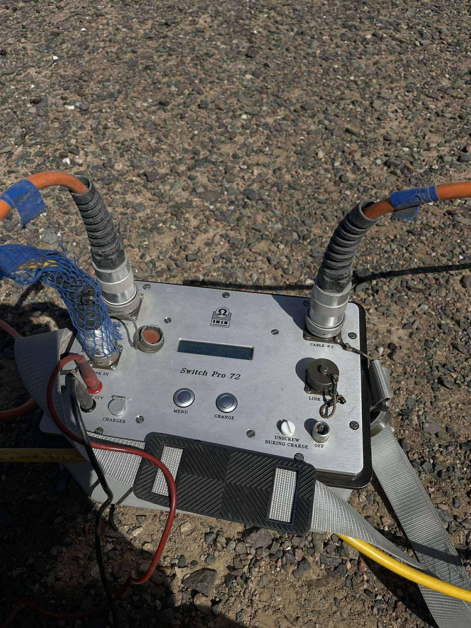
Switch Pro 72
The IRIS Switch Pro routes the Syscal Pro across all 72 electrodes, so a whole ERT spread is read automatically.
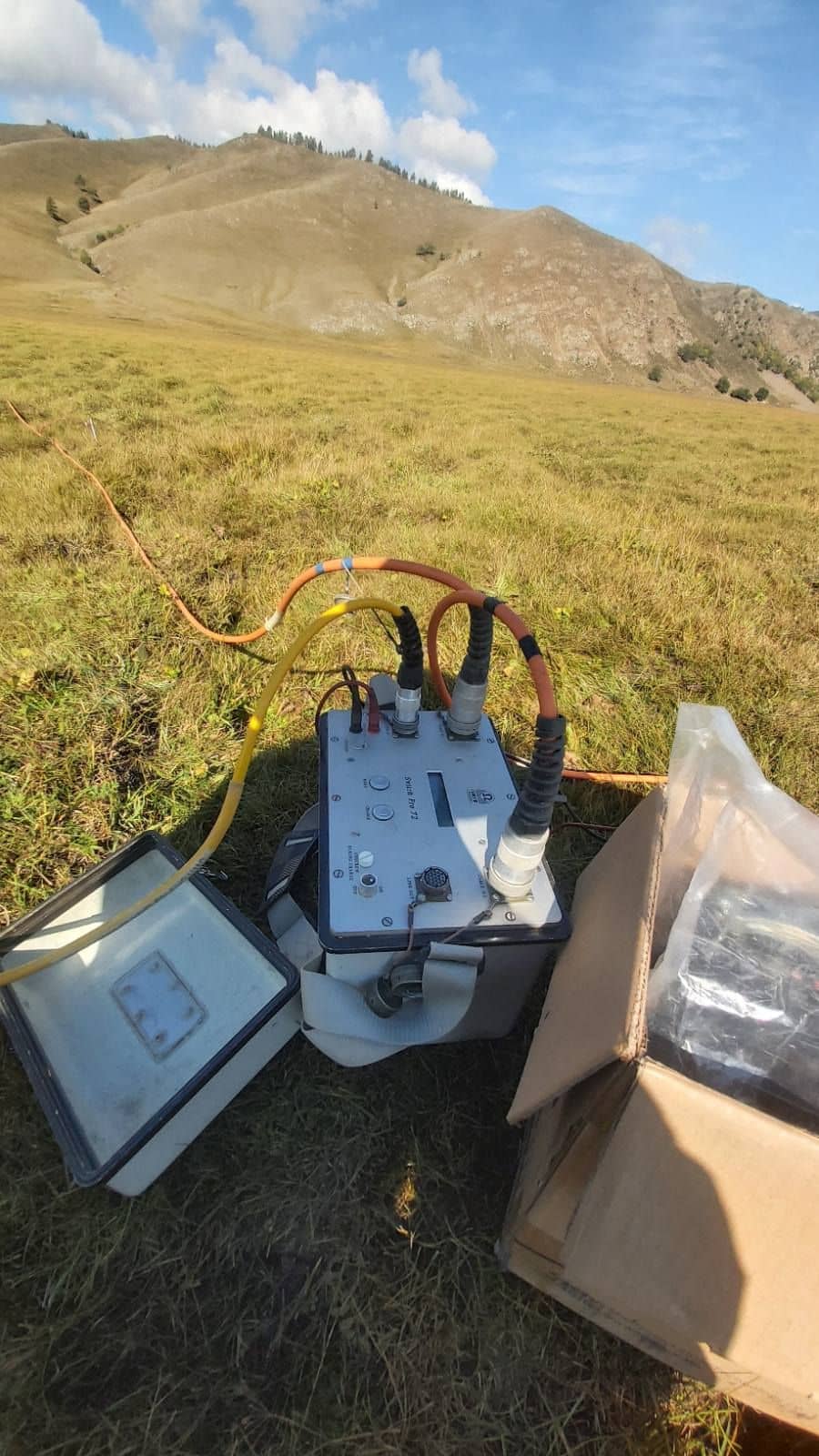
Resistivity in the hills
Electrical surveys for water and engineering, in the valleys as much as on the steppe.
Other methods · Field acquisition
Send us a licence boundary.
A shapefile or a sketch on a map is enough. Tell us what you're looking for and we'll come back with a method, line spacing and price, usually within two working days.
Start a quote→