Equipment
Everything we take into the field
We own our instruments and keep spares in Ulaanbaatar, so a broken cable in Dornogovi costs a day, not a week. Everything is calibrated before each season and logged.
- Instruments
- 17 sets in service
- Calibration
- Before each season
- Makers
- IRIS, Scintrex, Emlid, Garmin
| Group | Instruments | Units |
|---|---|---|
Magnetics
|
| 05 |
Gravity
|
| 02 |
IP & Resistivity
|
| 05 |
Resistivity: ERT and VES
|
| 01 |
NMR sounding
|
| 01 |
Positioning
|
| 03 |
Field communications
|
| — |
| Total | 17 |
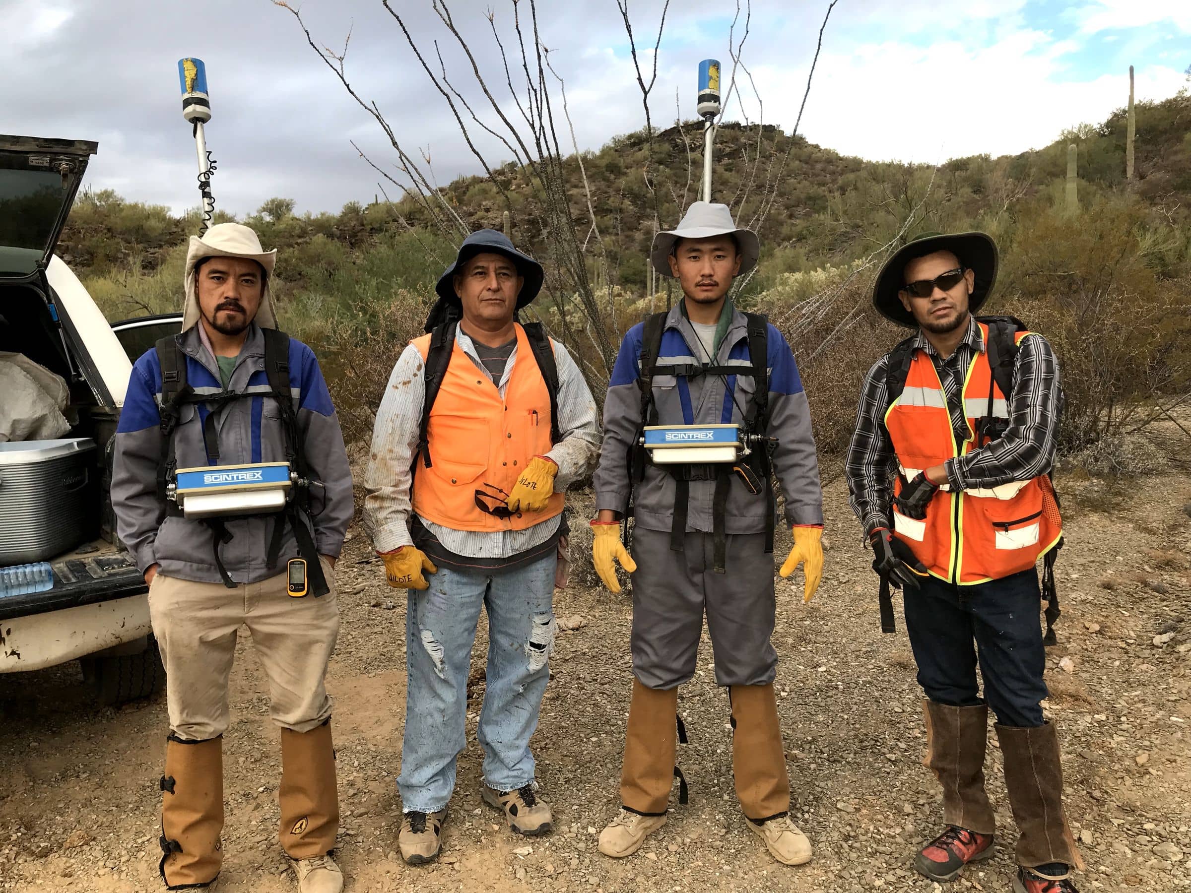
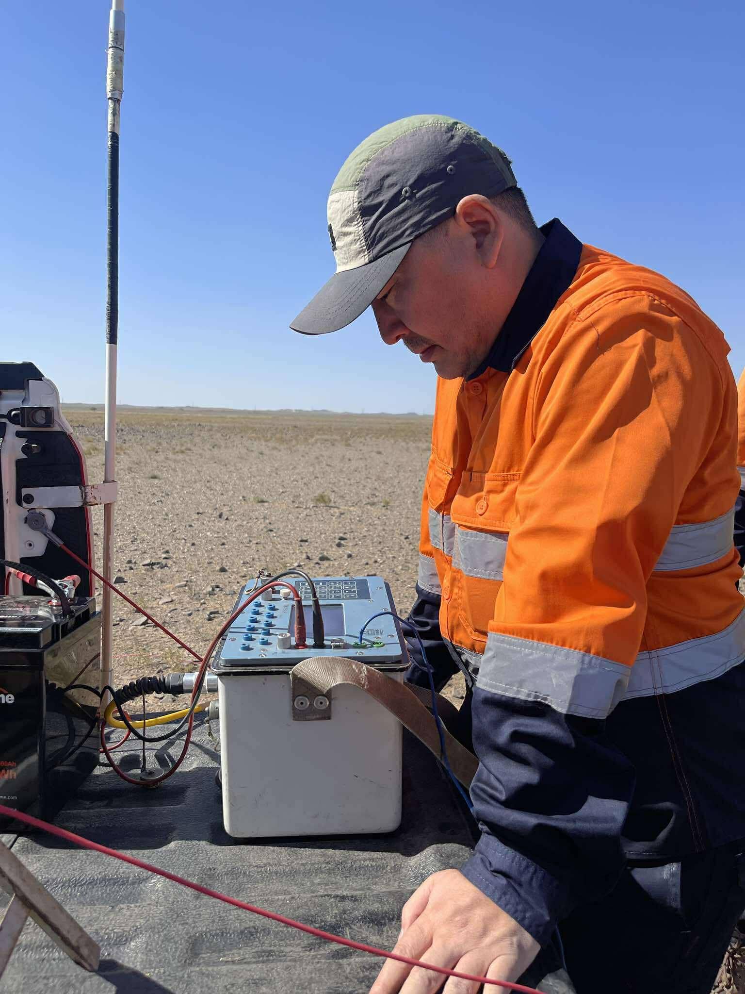
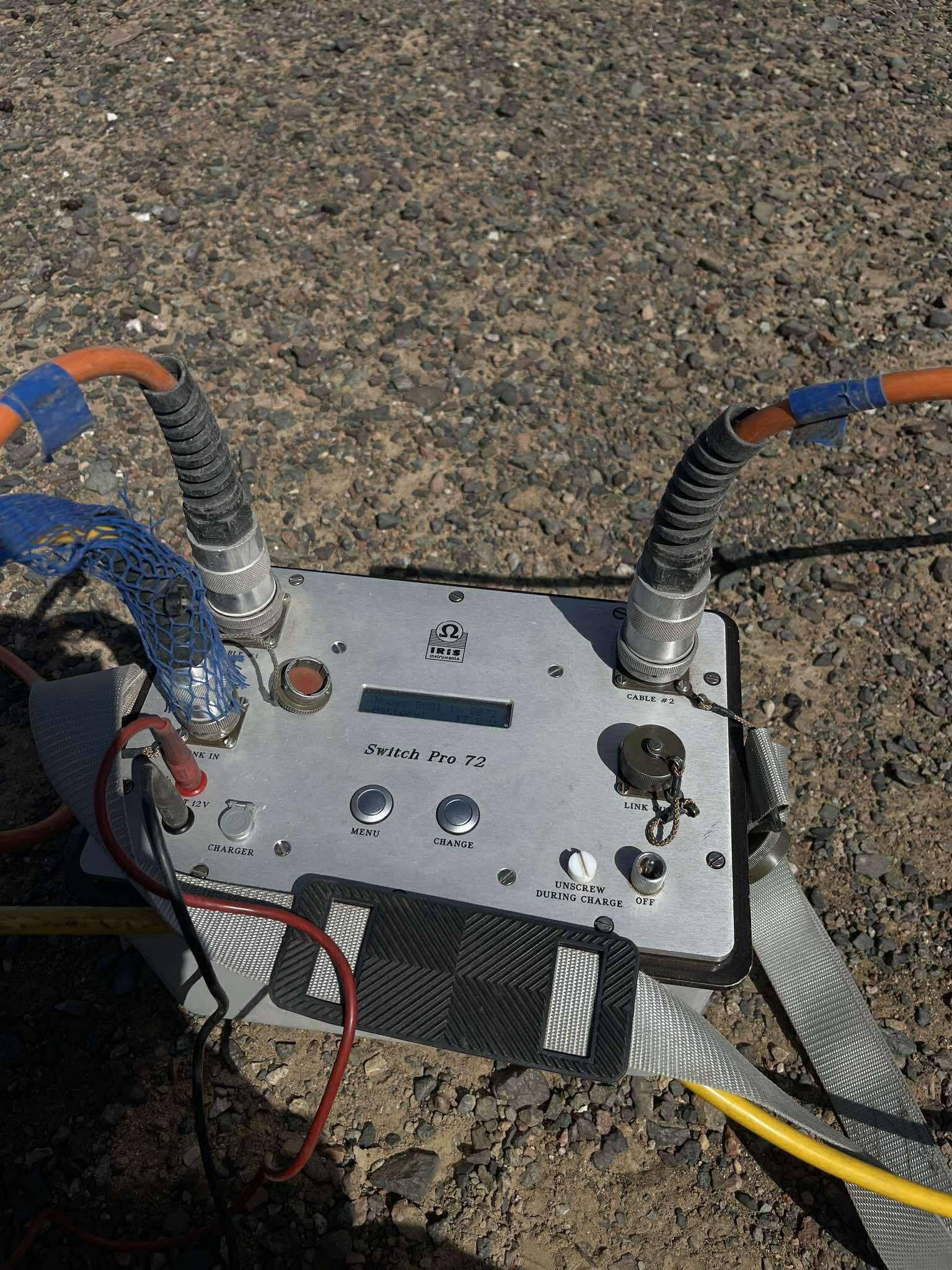
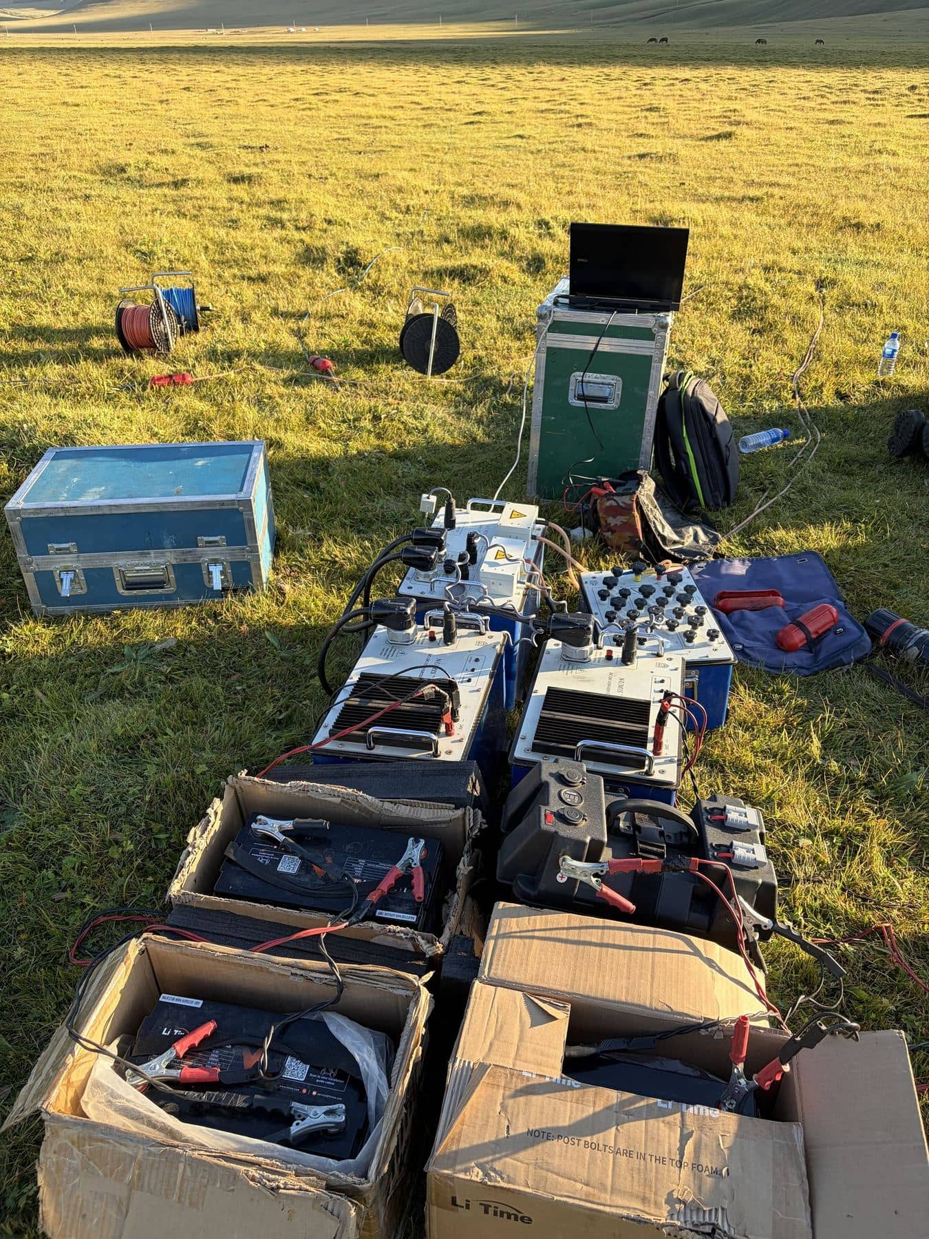
Instrument spotlight
Scintrex CG-5 gravity meter
The CG-5 Autograv does the hard part of gravity surveying for us: it levels itself, corrects for tilt, tides and temperature, and averages out ground vibration, so the crew can concentrate on accurate heights and clean loops.
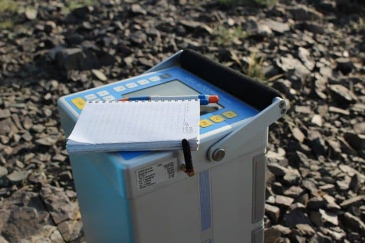
Manufacturer's specification
- Reading resolution
- 1 µGal
- Repeatability
- < 5 µGal
- Range
- 8 000 mGal without reset
- Corrections
- Automatic tilt, tide, temperature and drift
- In our fleet
- 2 units
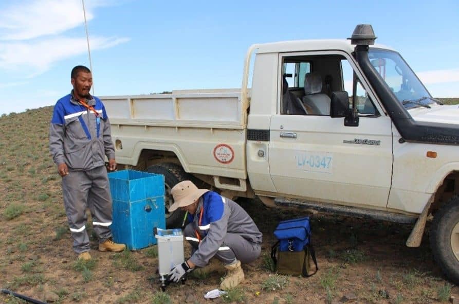
In use
The kit, on the ground
What the table above looks like once it's unpacked.
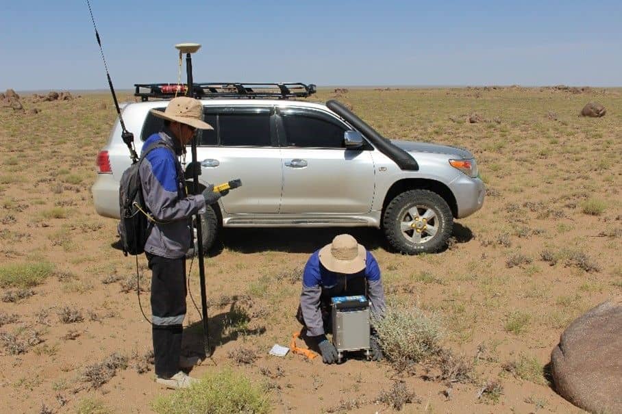
Gravity station
Gravity reading and GNSS height together: a centimetre of height error is about 3 microGal of gravity.
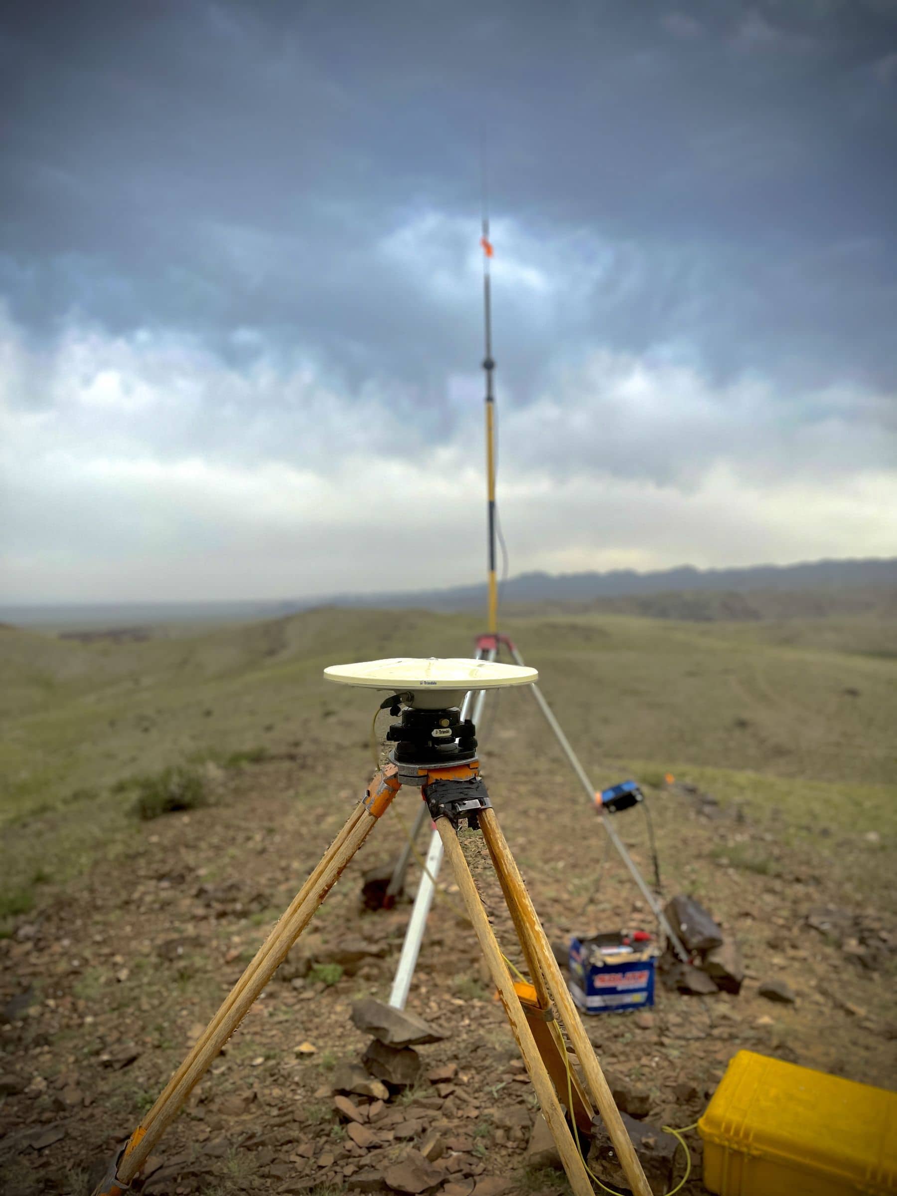
GNSS base station
Emlid base on a hilltop, with a radio modem sending corrections to the rovers on the lines.
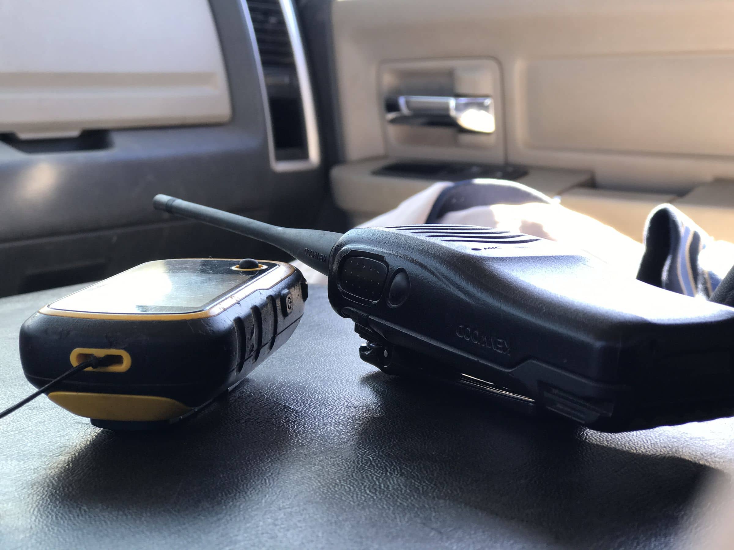
Navigation and radios
Handheld GPS to find the lines, radios to keep every crew member in touch.
Manufacturers
Instruments and software we run
Proven field instruments and industry-standard processing software.





Send us a licence boundary.
A shapefile or a sketch on a map is enough. Tell us what you're looking for and we'll come back with a method, line spacing and price, usually within two working days.
Start a quote→