Field acquisition
Ground Magnetics
High-resolution total-field and gradient magnetic surveys to map structure, alteration and magnetic ore bodies.
Magnetics is the fastest and cheapest way to map the geology hidden under Mongolia's thin cover. Rocks carry different amounts of magnetite, so intrusions, faults, dykes, alteration zones and some ore bodies each leave their own pattern in the Earth's magnetic field.
How it works
An operator walks each line with a Scintrex EnviPro magnetometer, taking a reading every second or two while Emlid RTK GNSS logs the position. A second magnetometer sits still at a base station all day, recording how the field drifts with the sun. In processing we remove that drift and the Earth's main field (IGRF), then reduce the data to the pole so each anomaly sits over its source rather than off to one side.
What it finds
- Intrusions and porphyry systems: a broad magnetic high, often with a magnetite-destructive low in the middle where alteration has eaten the magnetite.
- Faults and shear zones: breaks and offsets in the pattern. In orogenic gold districts these are usually the structures that matter.
- Dykes and contacts: long, straight, narrow anomalies that are easy to follow under cover.
- Iron ore and skarns: very strong, tight highs.
Survey design
Line spacing follows the size of the target: 25 m for detailed prospect work, 50–100 m for porphyry and structural mapping, wider for regional coverage. Lines run across the main geological trend. Tie lines and repeat lines check the data as we go.
Quality control
- Diurnal variation recorded at the base station and checked every evening.
- Repeat readings at the start and end of each day.
- Lines re-walked if heading error, spikes or a magnetic storm spoil them.
- Raw and processed data sent to you daily.
Limits
Magnetics sees magnetite, not gold or copper directly. Many targets are only found by combining it with IP or gravity, and with geology. Steel fences, pipelines and power lines add noise, so we plan around them.
Sample output
What you get back
An example of the kind of figure that goes into the report. The data here is synthetic, made to show the method, not taken from a client job.
A porphyry-style response: a broad magnetic high with a magnetite-destructive low at its core, cut by a NE-trending dyke. Lines are 100 m apart. Generated for illustration; not client data.
In the field
How it looks on the ground
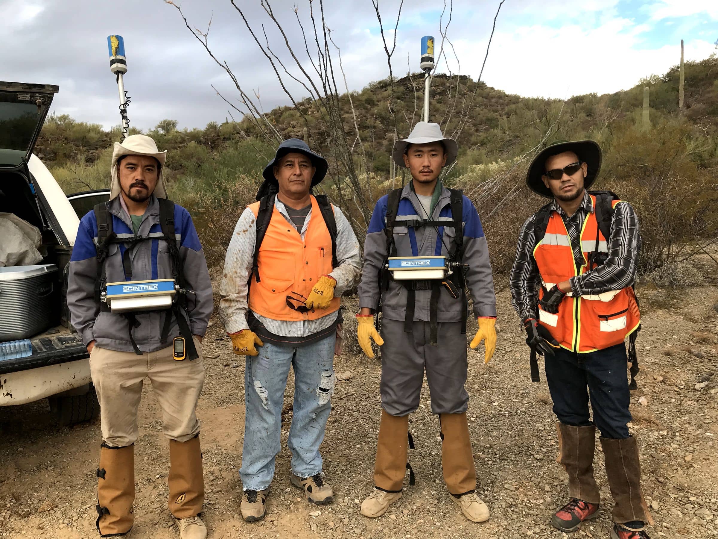
Magnetics crew
Scintrex magnetometers on the chest, sensors up on backpack staffs. Mexico, 2017.
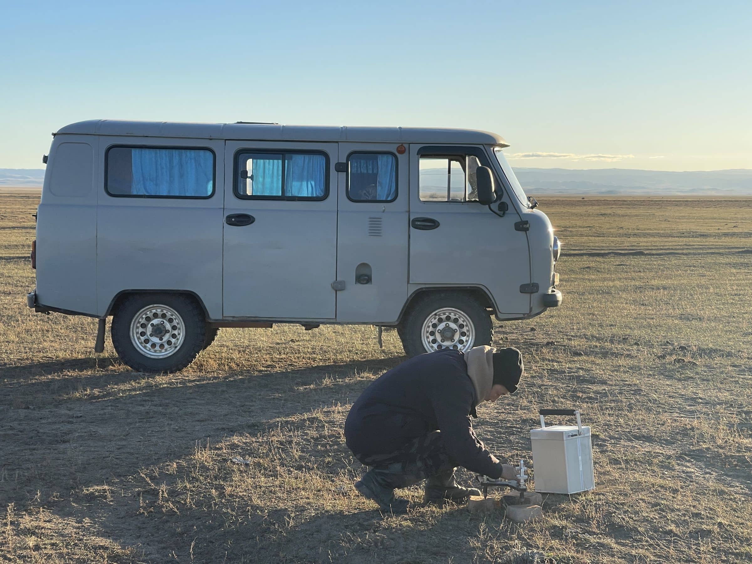
Base station
The UAZ goes where most vehicles won't, and carries the crew, the kit and the base instrument.
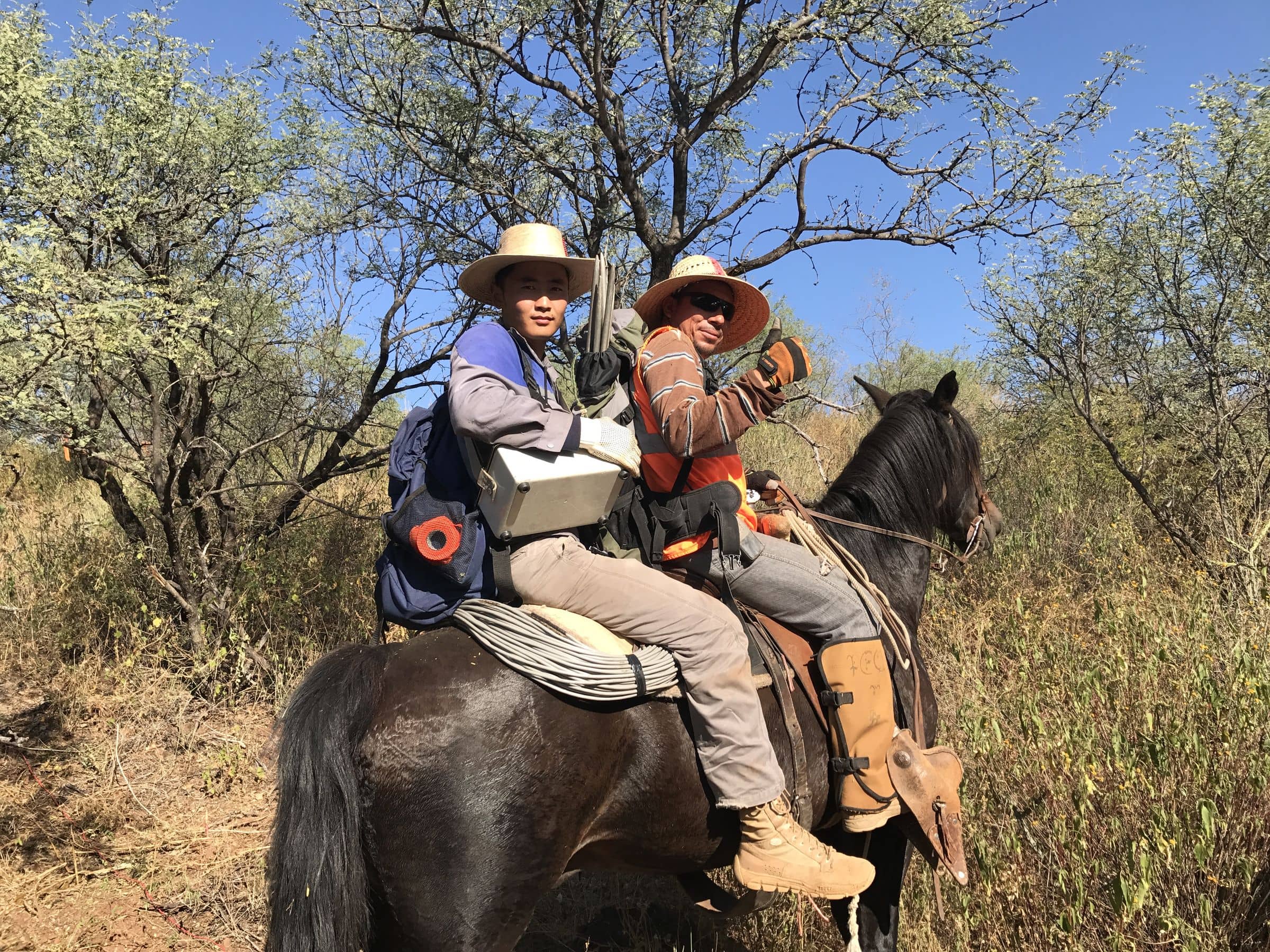
Where the truck can't go
In Mexico some lines could only be reached on horseback, instruments and all.
Where we’ve used it
Other methods · Field acquisition
Send us a licence boundary.
A shapefile or a sketch on a map is enough. Tell us what you're looking for and we'll come back with a method, line spacing and price, usually within two working days.
Start a quote→